Seal Bay Regional Nature Park
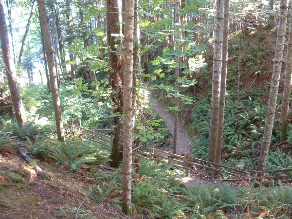
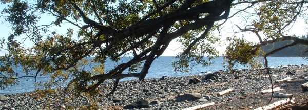
There are a number of trails at Seal Bay park. The trail to the beach is moderate with a considerable slope. The hill seems quite tame when going down, but on your way back up you will notice the long gradual incline. From the parking lot to the beach the main trail is somewhere around 1km each way.
There are a number of other trails throughout the park. Opposite the beach side of the road the trails are relatively level and wind around near a swamp.
Some of the trails are also Bike and Horse friendly, but be sure to stick to the appropriate paths.
If you plan on venturing down towards the beach be sure to bring a sweater as it can be breezy and a bit chilly, even on occasion during the summer.
Outhouses are available at both the trail head and down near the beach.
Directions: Follow signs towards the Powell River Ferry. Take Anderton Rd. As it breaks right, it changes to Ellenor. Turn left here to continue along Anderton. The first significant corner is where the road changes names to Waveland, then after a tight 30 corner a few km down the road, you will see Bates Rd on the left, turn here. You are now only a few hundred yards from the parking area.