Comox Valley Guide Welcome to the Comox Valley
Comox Valley Contact Us Comox Valley Blog Comox Valley Accommodations Comox Valley Dining Comox Valley Recreation Comox Valley Entertainment Comox Valley Shopping Comox Valley Business Comox Valley Real Estate Comox Valley Area Information
Comox Valley Realtor, Ronni Lister                    Comox Valley Advertising


Surgenor Brewing, Comox Valley Brewery Comox Valley realtor

Easy Hikes / Walks
» Courtenay Air Park
» Comox Marina
» MacDonald Wood
» #6 Mine Memorial Park
» Glover Community Nature Park
» Morrison Creek Greenway
» Rotary Riverside Trail
» Wildwood Interpretive Forests
» Northeast Woods Conservation Area
» One Spot Trail

Moderate Hikes
» Seal Bay Regional Nature Park
» Nymph Falls Nature Park
» Ship's Point Park

Difficult Hikes
» Paradise Meadows at Mt Washington


Courtenay Air Park / River Way

Courtenay River Way Courtenay River Way / Air Park Courtenay Air Park / River Way

Click Photos To Enlarge

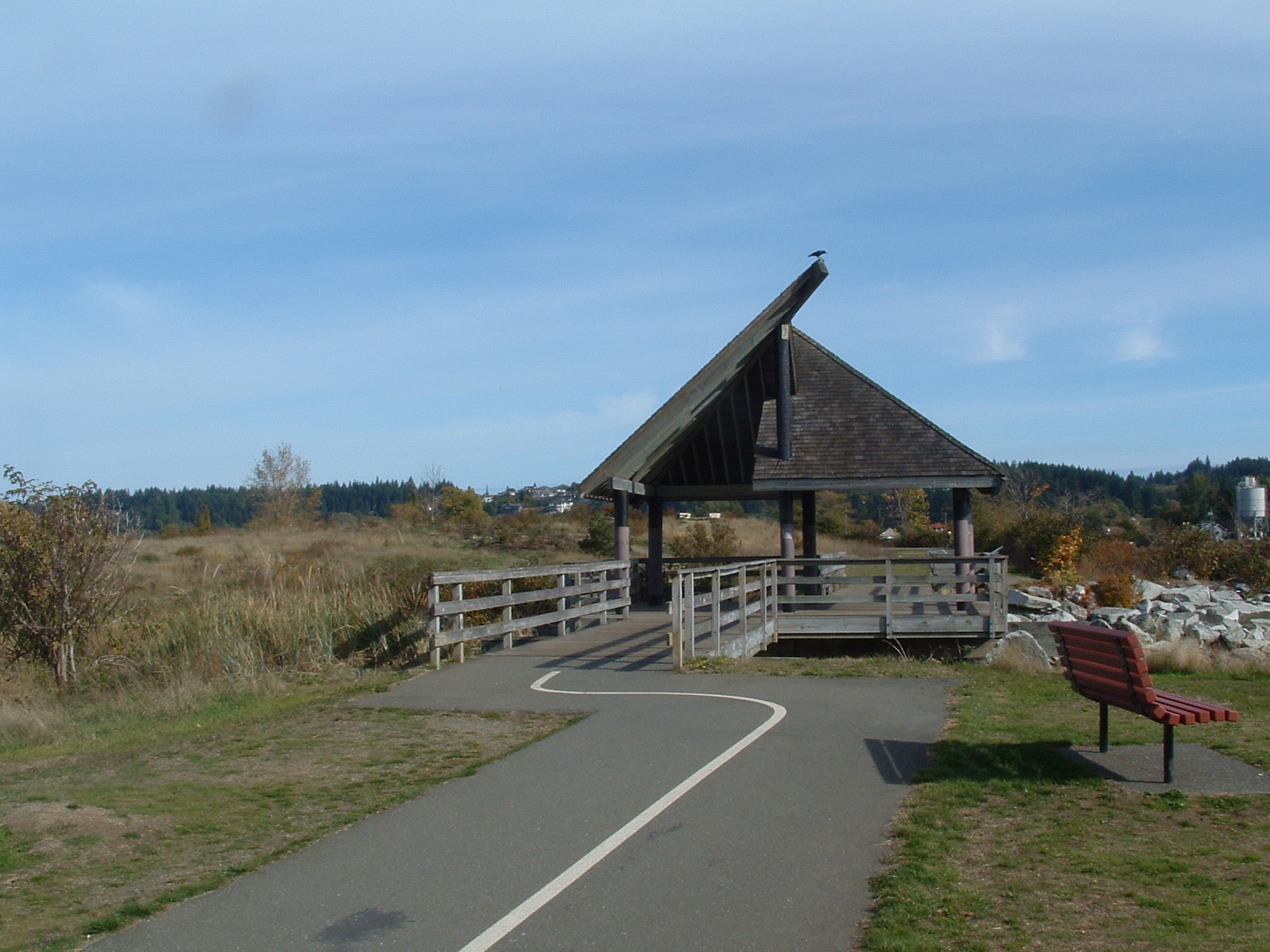
This walk is an easy level stroll with several access points between south courtenay running north along the courtenay river way. There is a loop around the Courtenay airpark that takes between 15-30 minutes depending on your pace.

This is a nice relaxing stroll on a paved, and fully accessible trail. This dog friendly trail is perfect for just about anyone.

Public washrooms are available at the Park Cafe between the marina and the airpark. There is ample parking at both the marina, and far end of the air park off of Mansfield Drive.

Directions: The airpark / marina entrance is located just as the 4 lanes end heading north towards town. Turn right immediately after the info center. The Mansfield drive entrance is located further south. Turn at the Mohawk station towards the water and round the corner, parking will be down a short distance on the left next to the airpark.

Courtenay River Way / Air Park Courtenay Air Park Comox Valley Rhododendron Garden

Click Photos To Enlarge

» Back to Recreation
» Back to Hiking Trails